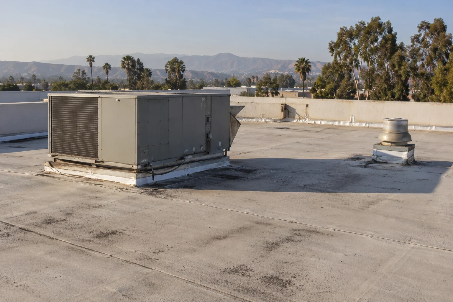
Drone Commercial Roof Inspection in Tracy, CA
Commercial Roofing Services
Use aerial roof views in Tracy to map perimeter conditions, record hard-to-reach zones, and direct safe follow-up testing without treating images as diagnosis.

Use aerial roof views in Tracy to map perimeter conditions, record hard-to-reach zones, and direct safe follow-up testing without treating images as diagnosis.
An aerial roof image is most useful when it answers a defined access question. In Tracy, a drone survey can document broad membrane condition, perimeter metal, rooftop equipment congestion, and sections that cannot be reached safely during an initial walk. It does not establish what lies beneath a membrane, confirm attachment, or replace a hands-on inspection where conditions permit. We begin with the question, the roof plan, the site rules, and the decision the owner needs to make. The deliverable is a labeled view set with limits and recommended next steps, not a collection of striking but unlocated photographs.
Tracy's published building criteria list wind exposure C and direct design wind speed to applicable maps and risk category. That is design context, not proof of how a particular roof was fastened. A drone may show the visible edge and rooftop obstructions for a later roof inspection, while project documents or approved testing answer concealed questions.
Before flight planning, identify whether the goal is a baseline condition record, a view of a reported leak zone, a perimeter review, or documentation after weather. Give each task a roof-zone label and a useful viewing angle. For a recurring leak, the interior report, roof plan, and aerial view should share a location reference so a technician can compare the suspected path with nearby drains, curbs, seams, and transitions.
Tracy sits at the junction of I-205, I-580, and I-5, and the city's land-use inventory identifies significant industrial and commercial areas. That context can mean a large roof with many equipment rows or separate tenant zones. It does not tell us the size or condition of an individual building. We confirm actual site geometry, staging space, nearby obstructions, and operational constraints before selecting the area to capture. For multi-building properties, label each roof separately and record which structure was omitted or partly obscured.
At Tracy's northeastern edge, the planned Northeast Industrial PUD extends across approximately 870 acres. That is a planning-area figure, not a count of operating roofs, yet it signals why a survey request should identify each parcel, tenant, or building explicitly. A shared aerial mosaic can help compare broad roof layout across a campus-like industrial portfolio, while separate labels prevent a maintenance finding from migrating to the wrong structure. Keep any flight boundaries tied to approved access and airspace review.
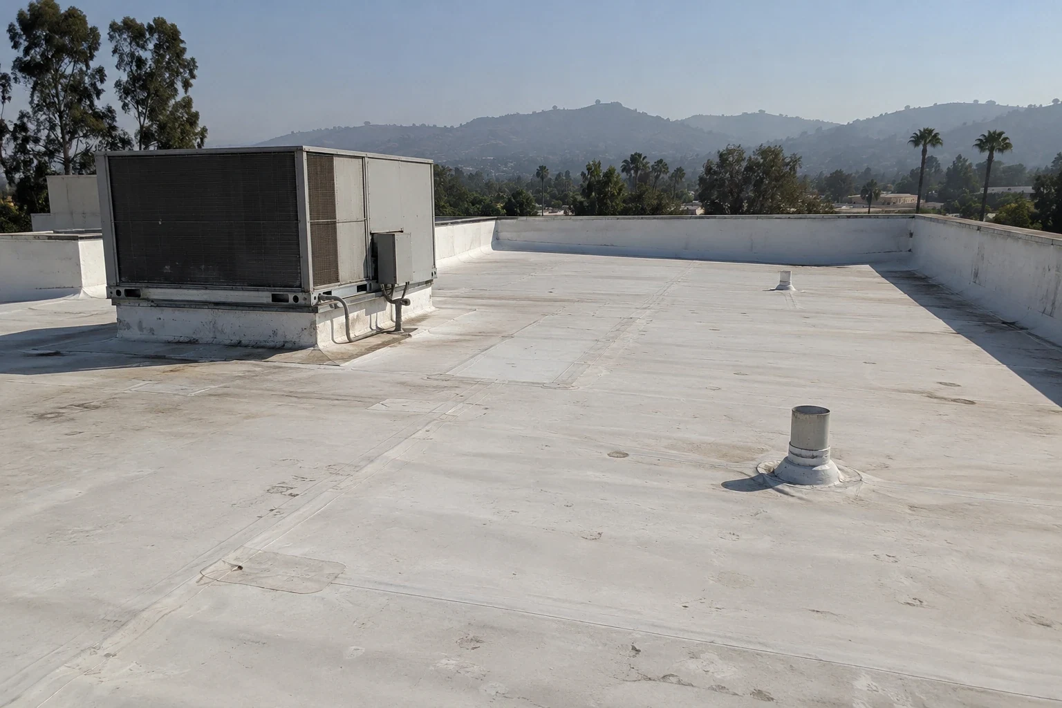
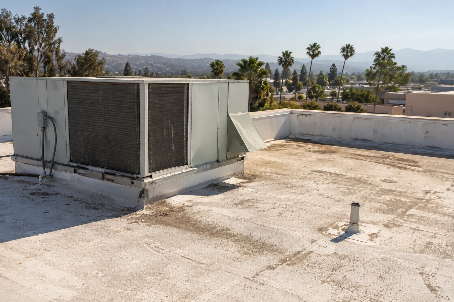
Visible imagery can show ponding, debris, displaced edge components, open seams, surface wear, and equipment-clearance conditions when resolution, light, angle, and access support a clear view. It can also identify areas for closer review. A photograph cannot reliably identify wet insulation below an intact membrane, determine the cause of a concealed leak, measure securement, or prove a coating is bonded. A follow-up TPO assembly review must use system records or approved field investigation. Shadows, glare, dust, roof texture, and oblique angles can make a surface look different from its field condition.
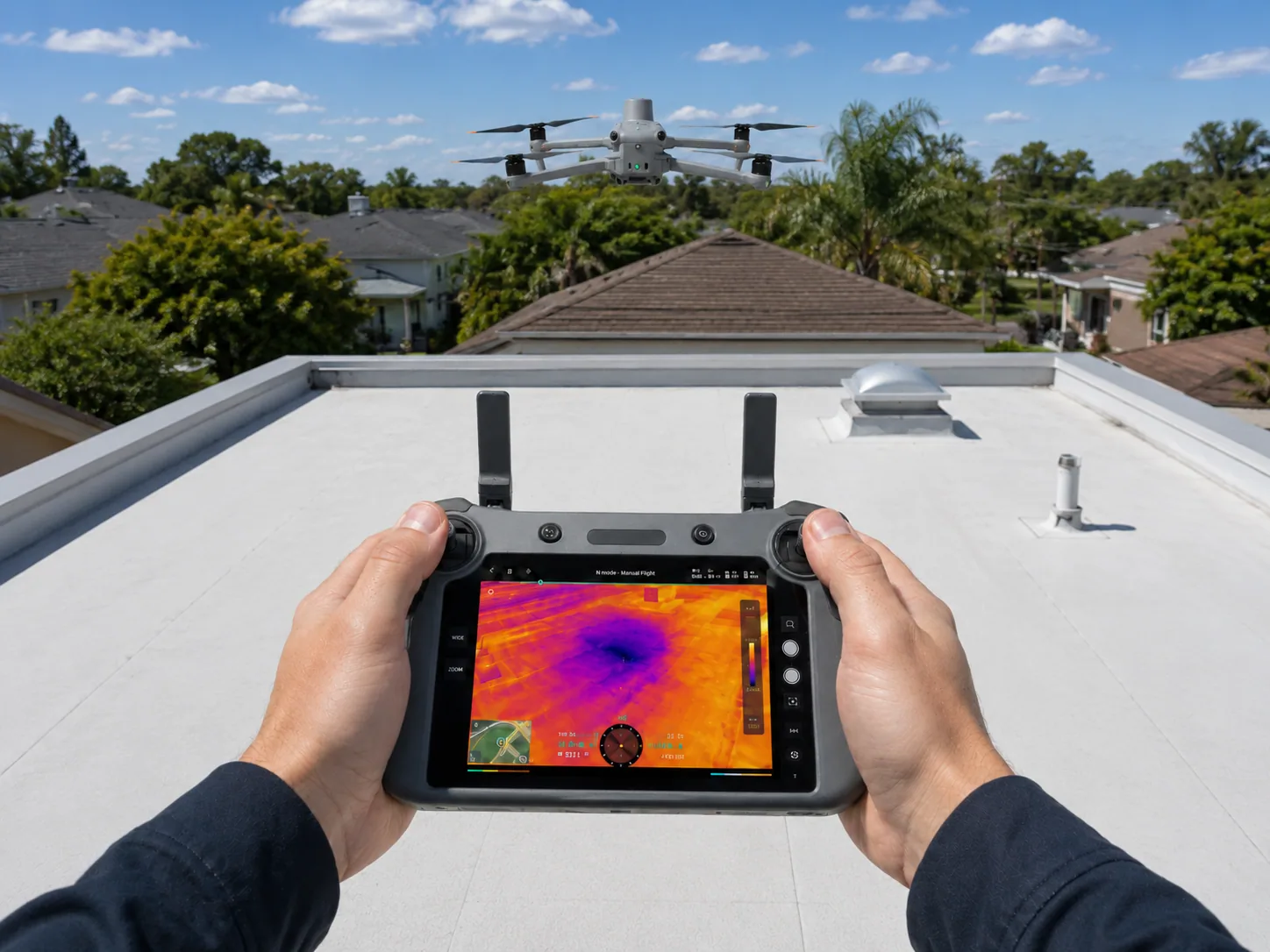
Every report should separate observation from interpretation. For each image, note the roof zone, direction, capture date, visible condition, confidence, and whether another method is required. A thermal or infrared survey has its own weather, timing, and surface limitations; an aerial visual flight is not a moisture test. If the next decision depends on concealed material, pair imagery with records review or an owner-approved moisture survey rather than overstate what pixels show.
Flight plans must respect site authorization, airspace limits, local restrictions, weather, and the operator's applicable requirements. Confirm who can approve access, where takeoff and recovery may occur, and whether operations need a pause around loading, vehicle routes, outdoor work, or occupied entrances. The site lead should identify sensitive areas, restricted views, and the person to contact if conditions change.
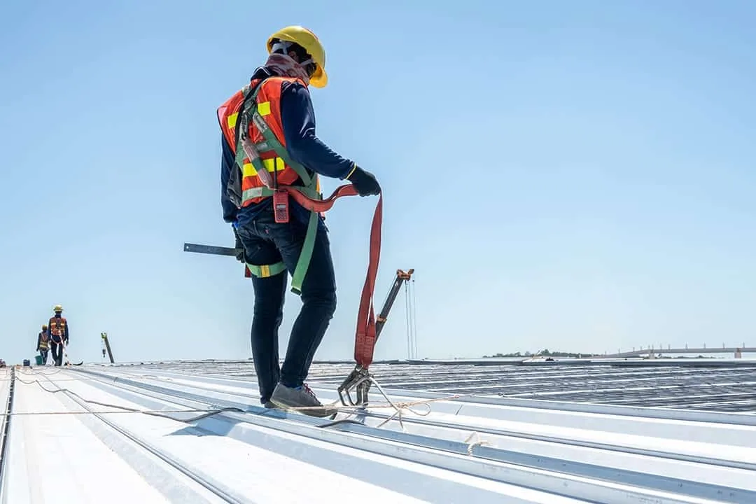
Roof access remains a separate safety decision. A drone does not make an unsafe ladder, hatch, or edge safe, and it should not be used to pressure staff into entering a restricted zone for a closer image. Establish a ground boundary, keep bystanders away from the flight area, and stop if wind, visibility, communication, or site activity no longer fits the plan. Record the areas not captured and the reason. A clear limitation protects the owner from treating an incomplete view as a full-roof certification.
Deliver images with a roof plan or annotated diagram, not as unlabeled files. Use stable names that connect building, zone, direction, and sequence. Include a wide orientation view before close-ups; preserve the original capture files and provide an index that points a reviewer to each documented condition. Mark areas blocked by parapets, equipment, glare, or flight limits. Keep the date and operator notes with the set so a later reviewer can distinguish a new condition from an older observation.
The report should include a short findings table: observed item, location, evidence, limits, and recommended next action. Actions might include a safe ground-level check, a qualified roof walk, records review, targeted testing, or a scoped repair. A condition report can carry those items into an owner decision log. For a warehouse roof, note loading-side access and equipment rows. For a site in the I-205 Corridor, use actual building identifiers rather than treating every building's layout as interchangeable.
Use the aerial record to prioritize the next safe inspection, not to order a repair by image alone. Compare observations with prior service records, leak tickets, roof assembly documents, and weather notes. If an edge component appears displaced, a closer inspection should check the fastening and adjacent transitions. If a drain is obstructed, confirm the path at ground and roof level before assigning responsibility. A visible stain or surface anomaly should be matched with the reported interior area where practical.
Before work starts, define the area, preparation, material, testing, and authorization boundary. If opening the system reveals wet insulation or a different assembly than expected, stop at the approved limit and obtain direction. Keep the aerial view in the closeout record with ground or roof-level images from repeatable positions. The same labeled zones can support a later maintenance visit and show whether a repaired condition changed, without promising that a single flight will predict future performance. A documented wind-damage review can compare fresh imagery with the prior condition record.
It may document visible conditions near a reported leak, but an aerial image alone does not confirm the water path or concealed wet materials. Compare the roof zone with interior reports and use a qualified follow-up inspection or approved testing.
No. It can reduce uncertainty about visible layout and hard-to-reach areas, but it cannot check every seam, attachment, membrane layer, or concealed transition. The report should state which areas need hands-on review.
No. Tracy criteria list wind exposure C and point designers to applicable wind maps and risk category. Imagery can record visible edge details; project documents or authorized testing are needed to evaluate attachment.
A labeled image set, roof-zone map, capture date, access limits, observed conditions, and a prioritized list of next steps. The format should make each image easy to locate on a plan.
Postpone when weather, visibility, wind, airspace restrictions, site activity, or authorization makes the planned operation unsuitable. Record the reason and reschedule after the responsible parties confirm conditions.